Mapping the Earth from Above: Geomapping with Drone Technology
In the realm of geospatial data collection, drones have emerged as indispensable tools for capturing high-resolution imagery and generating accurate maps of the Earth’s surface.


In the realm of geospatial data collection, drones have emerged as indispensable tools for capturing high-resolution imagery and generating accurate maps of the Earth’s surface.

Precision agriculture has transformed the way modern farmers approach crop management, and drones are at the forefront of this revolution. These versatile aerial devices equipped
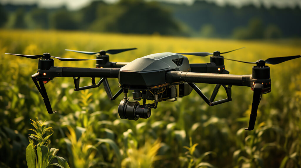
In modern agriculture, efficiency is key to meeting the demands of a growing global population. Drones have emerged as invaluable tools for farmers seeking to